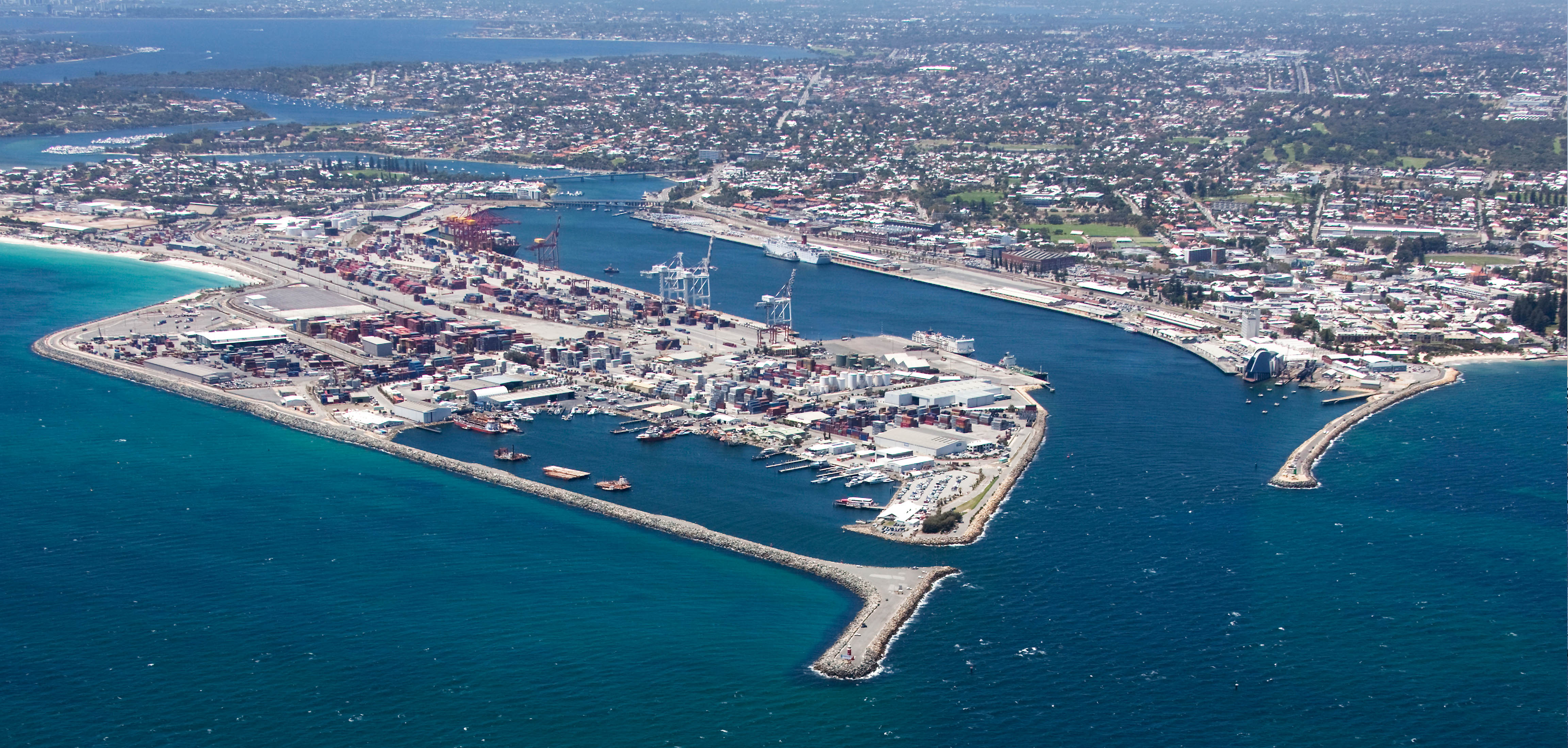
Rous Head Planning Precinct
This planning precinct covers mostly reclaimed land north of North Quay (north of the railway line and Rudderham Drive), as well as Rous Head Harbour and North Mole.
These planning documents apply to this precinct and help ensure any proposed development and land use complies with requirements set and positively contributes to the long-term sustainability of the port.
Land Use Tables
You can view the Land Use Table - Rous Head for this precinct which should be read with the accompanying explanatory text.
Buffer Guidelines Collapse and expand this accordion
Development Plans Collapse and expand this accordion
Electrical Services Collapse and expand this accordion
Environmental Guidelines Collapse and expand this accordion
Fact Sheets Collapse and expand this accordion
Landscaping Collapse and expand this accordion
Planning Approvals Collapse and expand this accordion
Planning Policies Collapse and expand this accordion
Find out how you can explore the port or get ferry and cruise info...